Land Surveying/Right-of-Way
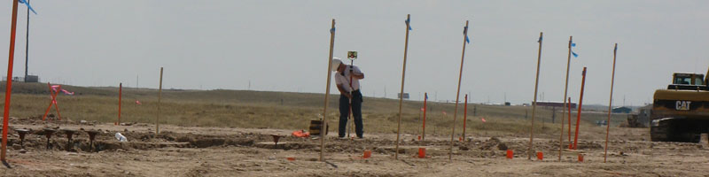
Western's Survey Department is managed by Professional Land Surveyors licensed in multiple states. From more traditional boundary and topographic surveying to state-of-the-art LiDAR mapping technology and aerial photography, we can do it all.Professional Surveying Services
- ALTA Surveys
- Boundary Surveys
- Aerial Mapping Control
- LiDAR Digital Imaging & Mapping
- Aerial Photography
- Construction Stakeout
- Condominium Surveys
- Flood Elevation Certification
- Property Annexations
- Route Surveying
- Subdivision Platting
- Topographic Mapping
- Water Rights
- Well Locations
- Zone Changes